UCA Field School 2021

The 2021 UCA Field Archaeology course has officially concluded! After being forced to cancel the 2020 field season, it was very rewarding to be doing research at Camp Halsey again with UCA students. We had a great group this year, and everyone was very productive with new insights gathered using a variety of data collection techniques. And, it rained a lot!
Excavations were resumed at Architectural Feature 11 (AF11), the location of the officer’s quarters. Students cleaned Unit 5 (begun in 2019) in preparation for a new photograph using a drone. After finishing Unit 5, an additional unit was established (Unit 7) to the south of Unit 5 to better understand the chimney foundation construction and process of demolition. Excavations revealed a large ash concentration, along with a large “gate hook” suggesting the presence of an ash removal door on the south side of the chimney.
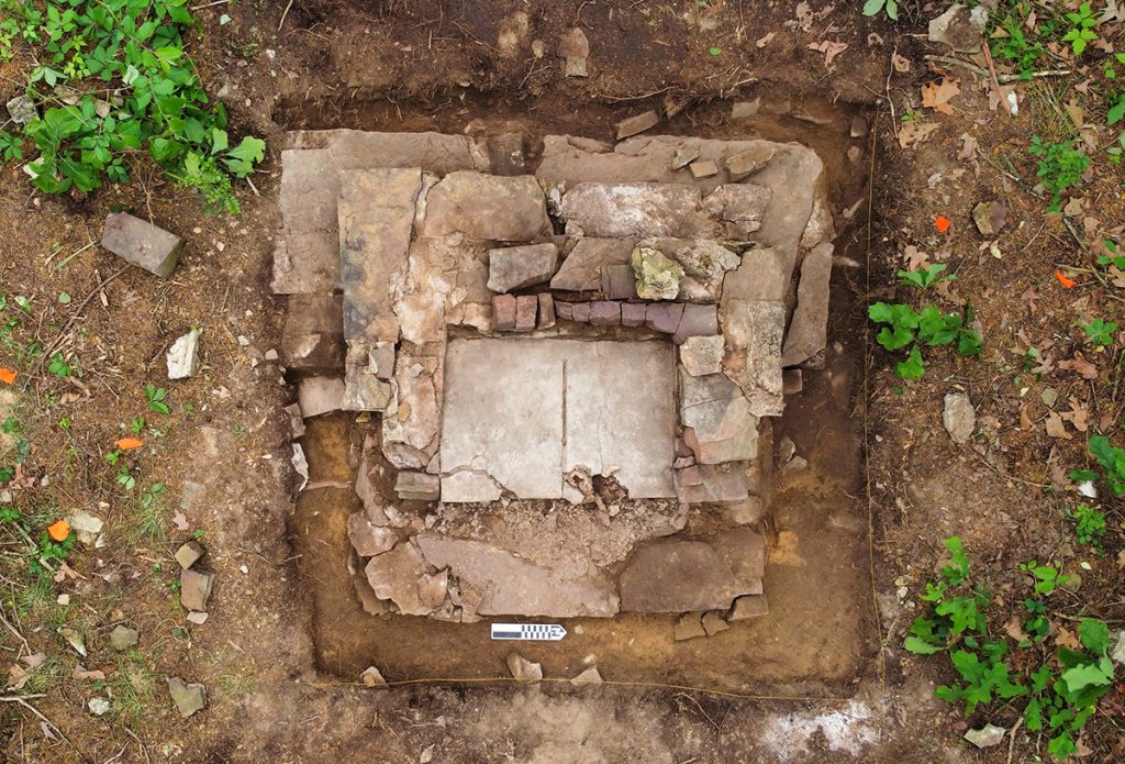
Unit 5 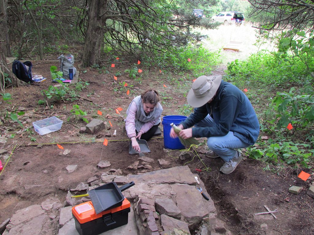
Lauren and Patrick work on Unit 7 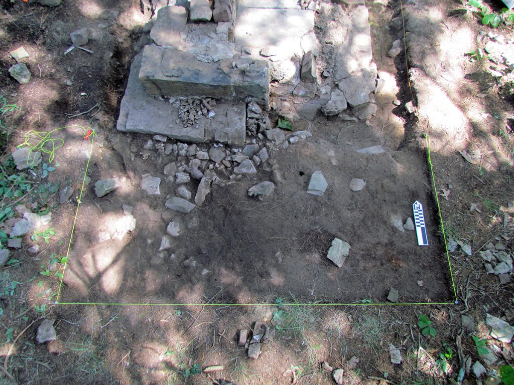
Unit 7
Efforts were also focused on exposing several additional architectural features. Architectural Feature 12 (AF12) was our initial target in order to understand its role in the camp. Students spent several days exposing the feature (with very little artifacts!) and it has been interpreted as the Auxiliary Supply location (Building # 33), listed in the 1934 inventory of buildings as a portable (tent) building that was using during the second occupation of the camp (P-75 Company 4748). In fact, Building 33 is the only building listed as portable rather than rigid in construction. Cement had been poured within stacked stone sides, and with a fairly decent slope to the south. The few artifacts found were all located at the south end of the feature, presumably deposited there as a result of water runoff.
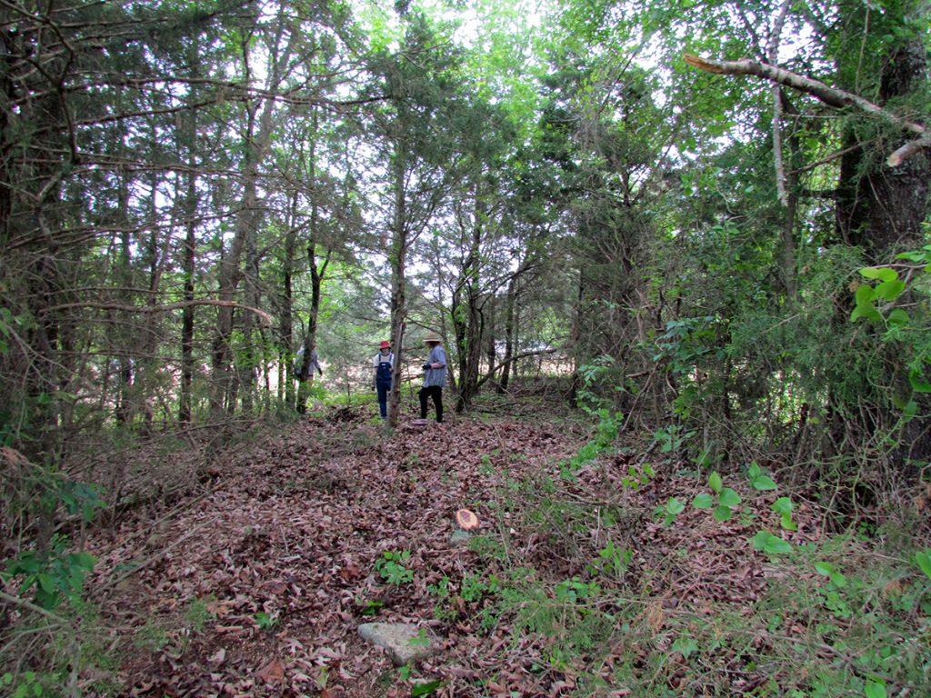
Begin: AF12 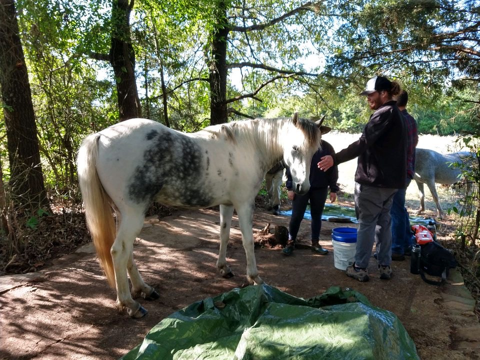
Horses Came for a Visit! 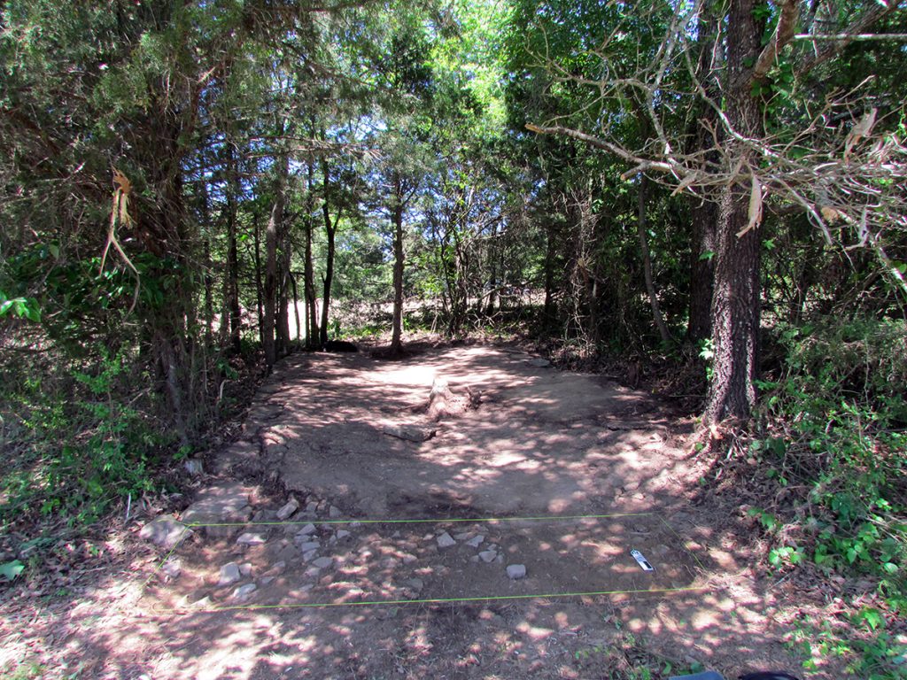
Finish: AF12
Another architectural feature (AF4) exposed is a pump house located to the north of the camp. The 1934 inventory of buildings lists two pump houses: Pump House #1 (Building 20) at 8 x 8 ft and Pump House #2 (Building 23) at 8 x 12 ft. Based on dimensions, AF4 is likely Pump House #2 and provided water to several buildings, such as the latrine, kitchen, and hospital – all located in close proximity to Pump House #2.
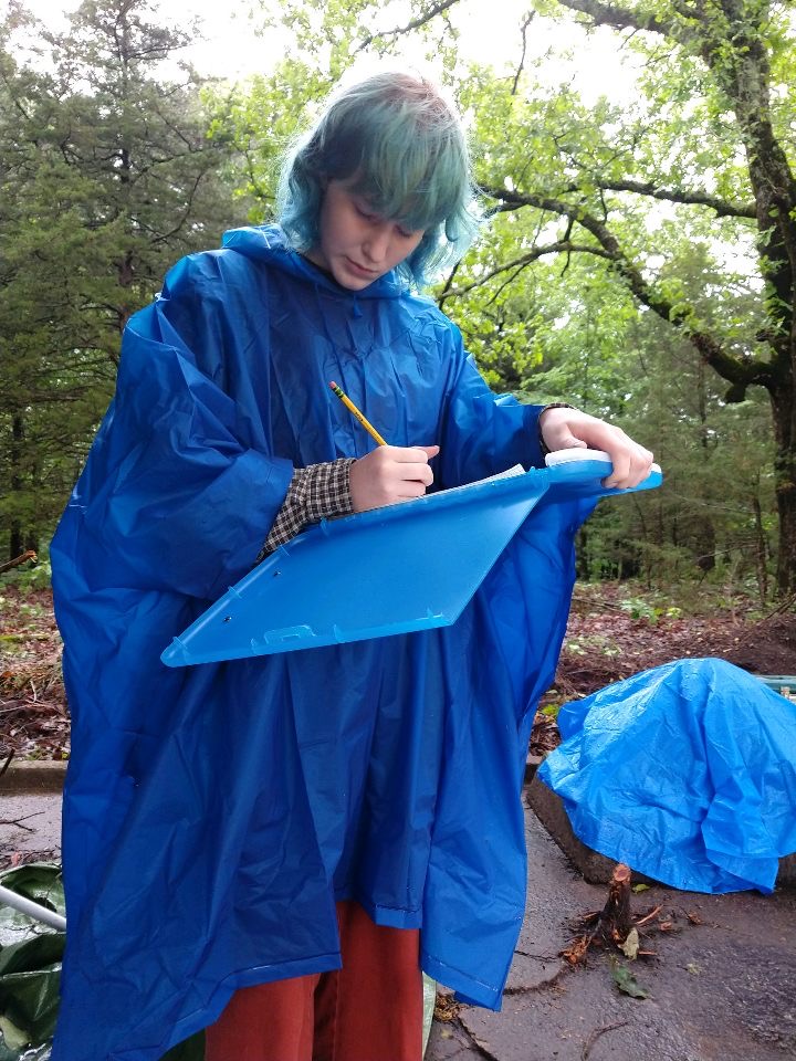
Aislinn making a map of the AF4 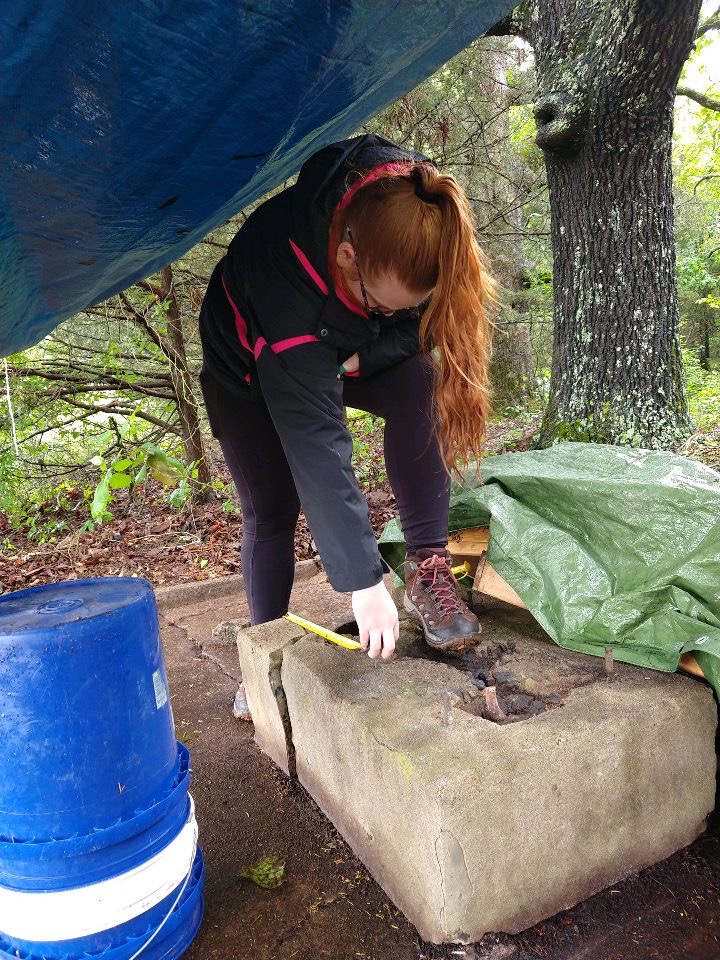
Ashley measuring AF4 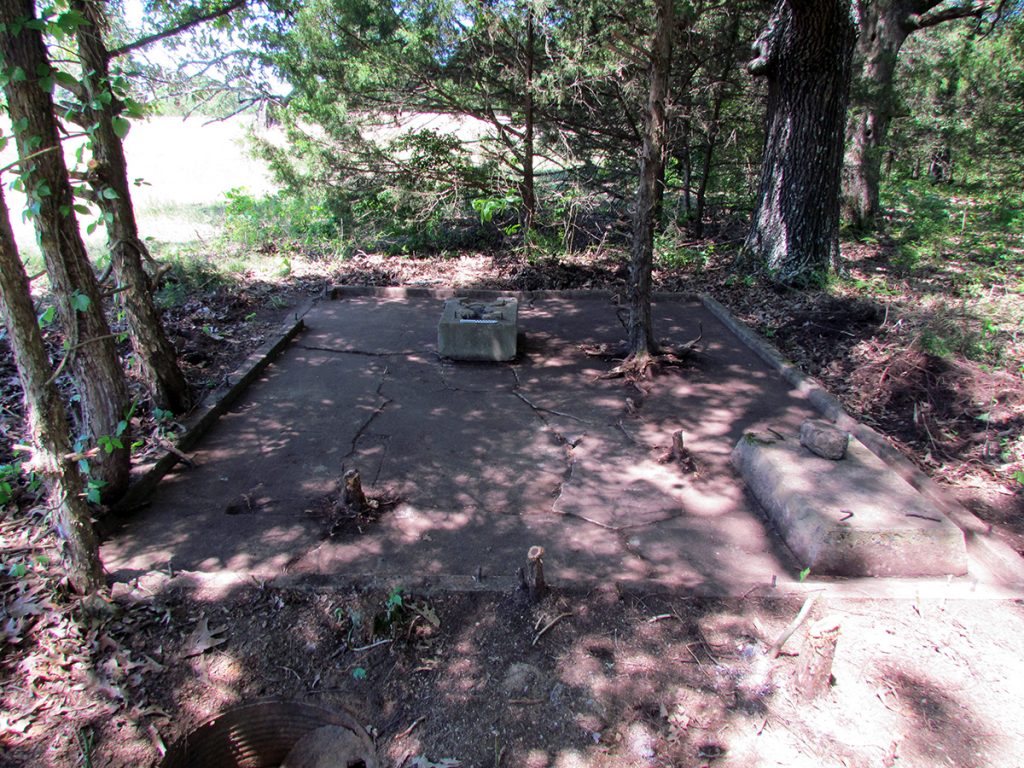
Finish: AF4
We also returned to Architectural Feature 1 (AF1; Building 18) to explore the outside hearth of the standing chimney. Students exposed a large stone apron that defined a large area outside the chimney and continued inside to form the base of the hearth. This feature was clearly a central location for the gathering of enrollees. An image from the 1937 Annual Official CCC Yearbook shows the large chimney connected to the Recreation Hall (AF1; Building 18) with enrollees gathering at east end of the Hall (mail call, perhaps?). Sitting next to the chimney on the stone apron is a fire bucket – one of 140 listed in the 1934 inventory of buildings.
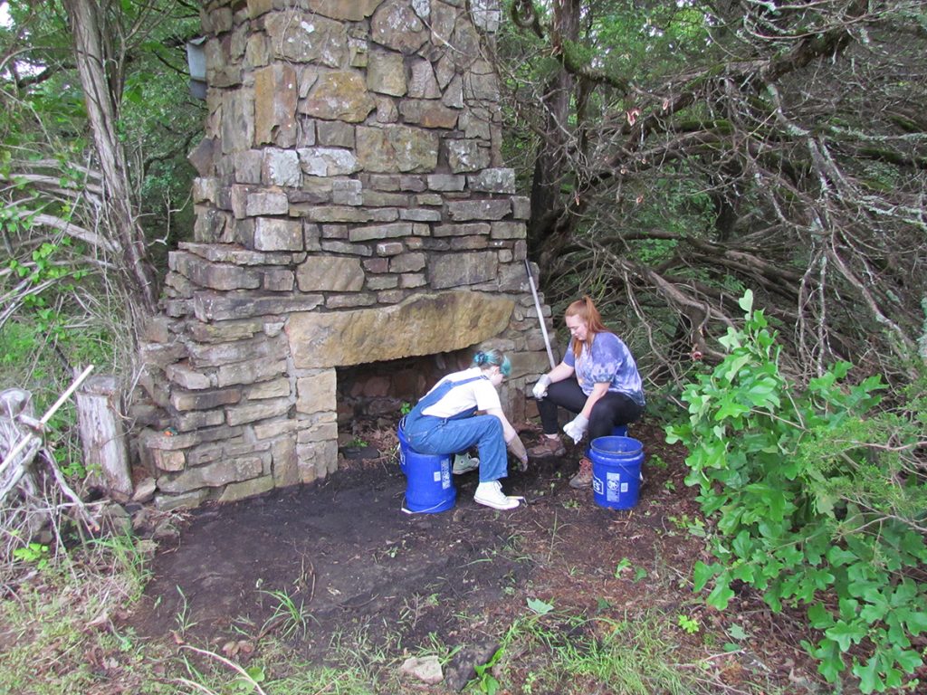
Begin: Exposing AF1 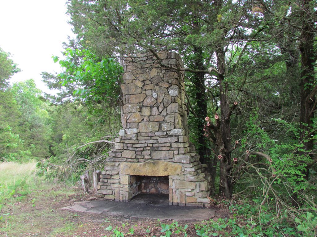
Finish: AF1 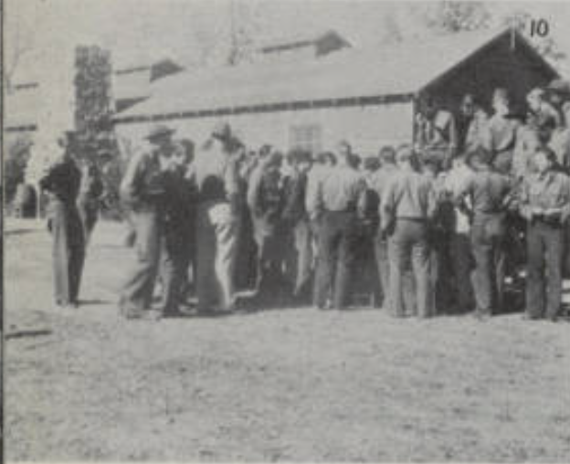
“The Crowd Gathers”
We also have a couple photographs of Maude and Faye Blythe (cousins to the Halsey family) in January 1938 playing in the snow at the camp. The images are part of the Faulkner County Historical Collection, now part of the photograph collection (P-4) at UCA Archives. One photo shows the two women posing in front of the AF1 chimney with the Recreation Center building still attached. After exposing AF1, students had fun replicating the photo!
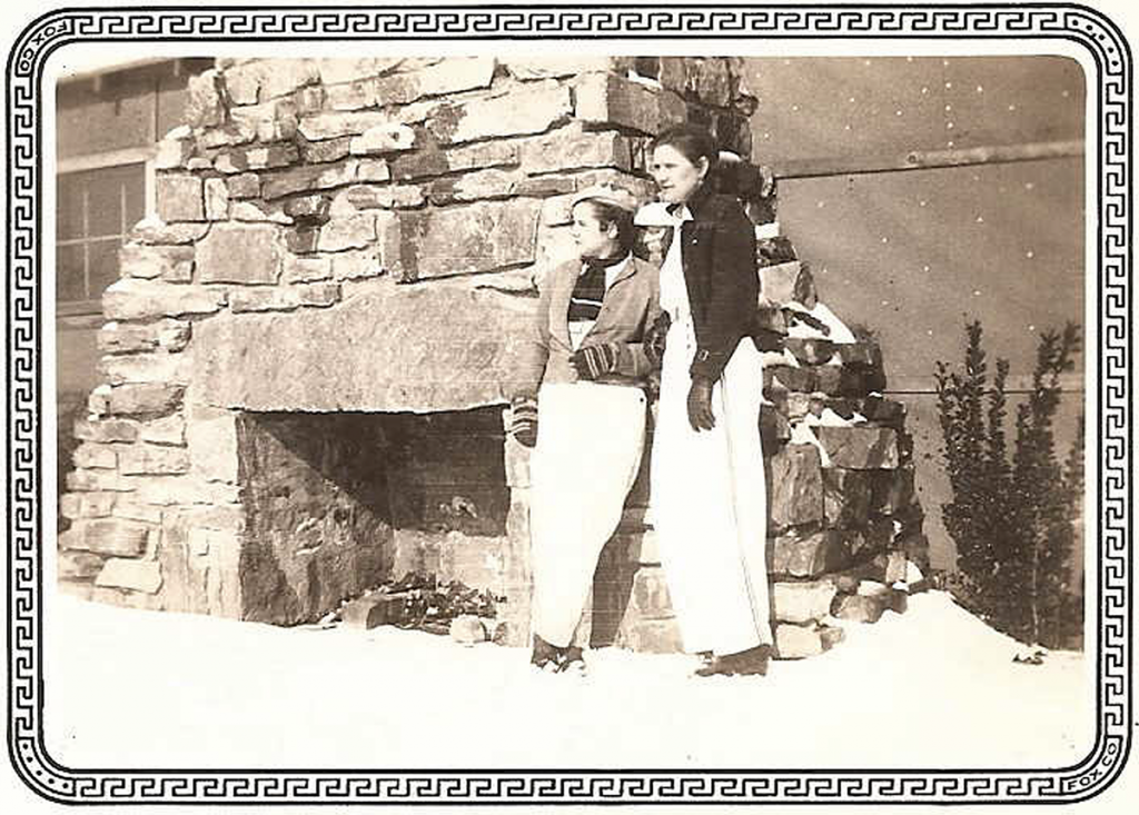
January 1938 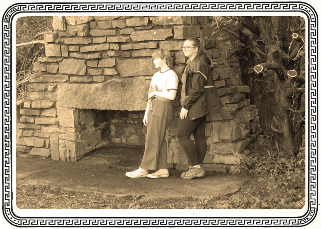
May 2021
Students were also exposed to electrical resistivity survey methods using an RM Frobisher TAR-3 resistance meter. Over the course of two weeks, they were able to collect numerous grids, adding to data collection from previous years. Efforts were focused in the area in which the former barracks were located as well as a large open space where several additional buildings of unknown use were located. Results offer several areas for exploration in subsequent field schools.
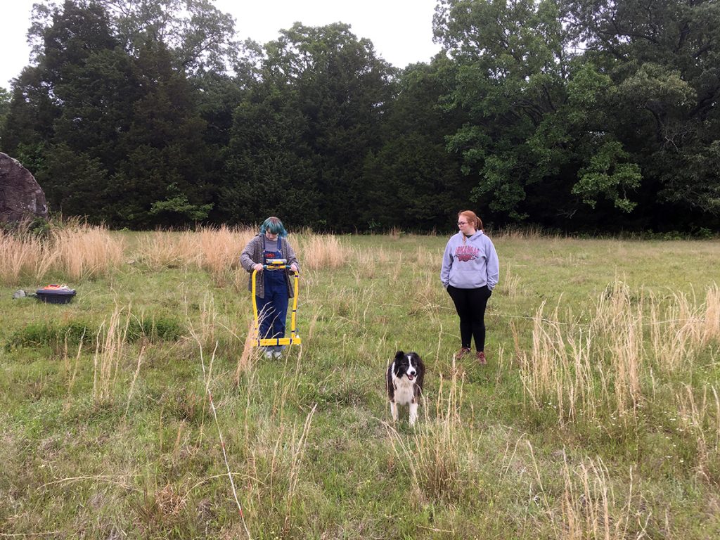
Aislinn and Ashley collecting resistivity 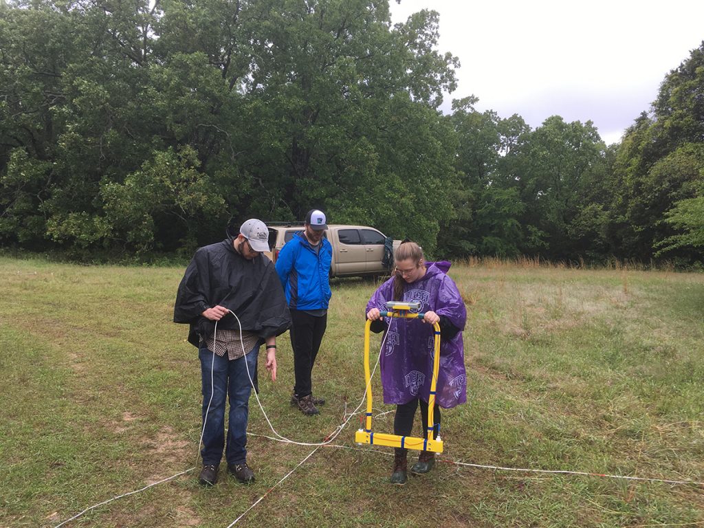
Ashley, Ian, and Joe collecting resistivity 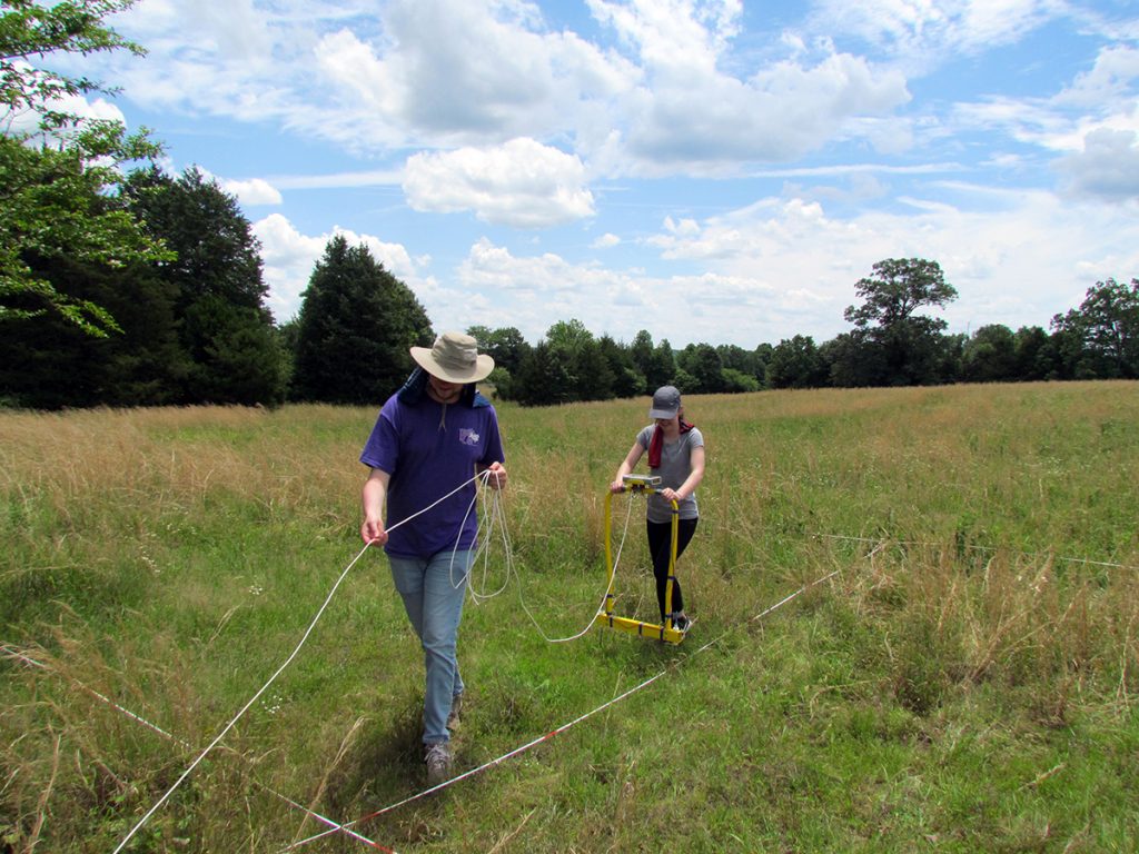
Lauren and Patrick collecting resistivity
Finally, students were also introduced to the use of systematic metal detection survey methods. Two 10 x 10 grids (also surveyed with resistivity) were surveyed. Students used pin-flags to mark metal hits, excavate features, and create distribution maps to understand the relationship of identified artifacts (lots of nails!) and the proposed location of the former buildings.
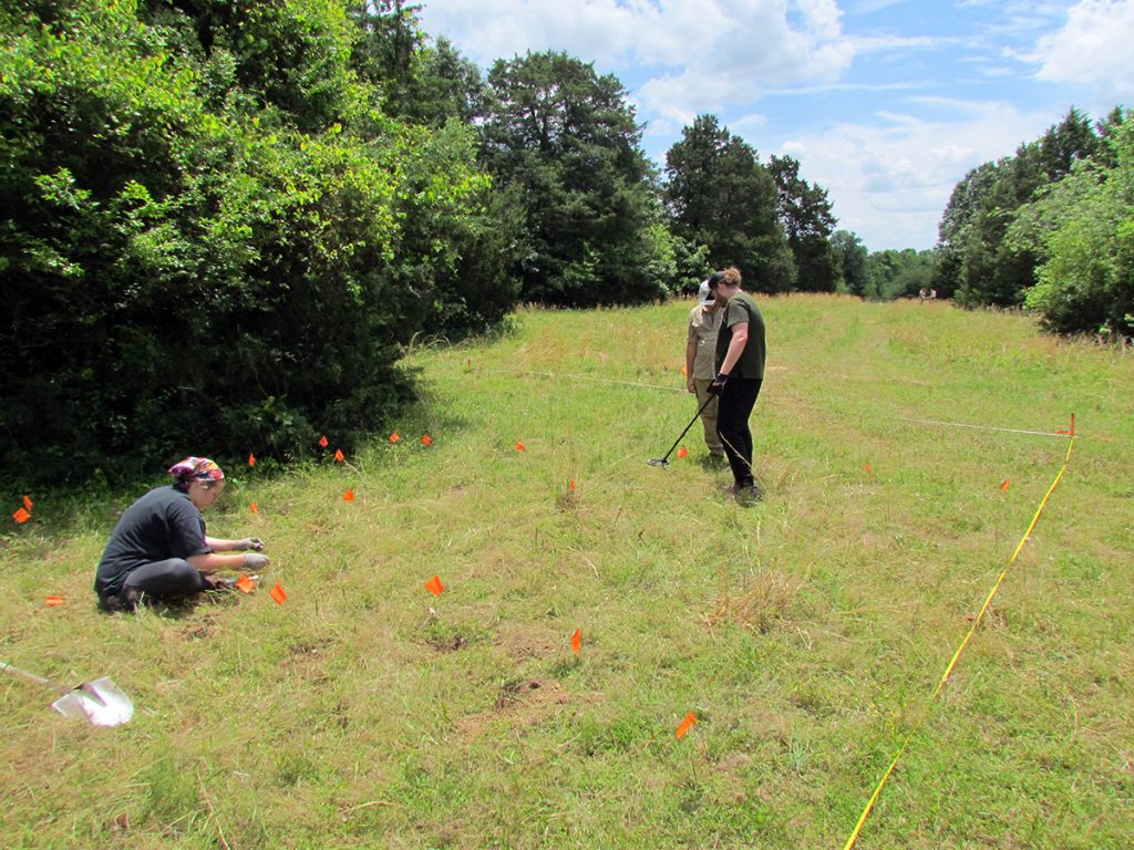
Joe, Ian, and Ashley conducting metal detecting survey 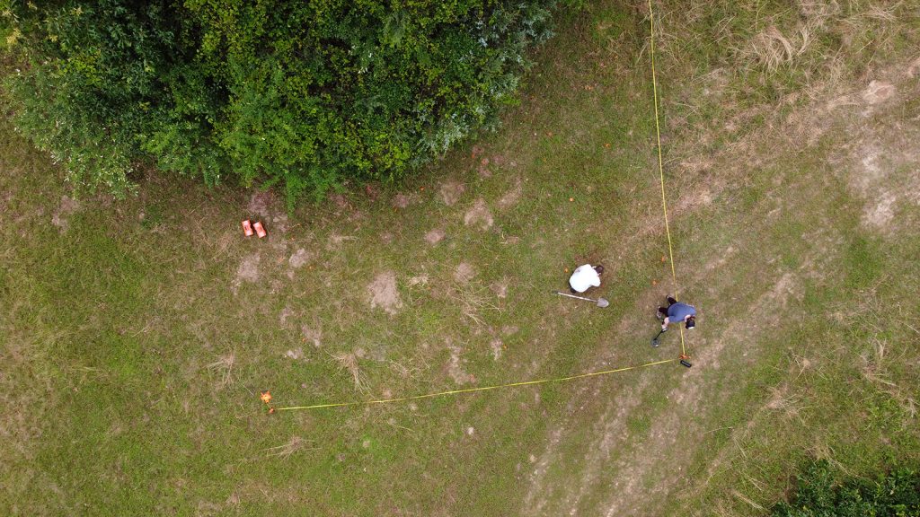
Drone image showing systematic data collection
After collecting data in the field, the last few days were spent in the Archaeology Lab on UCA campus. Students were exposed to artifact cleaning, documentation, sorting, interpretation, and accessioning and curation standards. Artifacts were “bagged and tagged” according to Arkansas Archeological Survey standards.
Students also had the opportunity to understand spatial data processing related to electrical resistivity, drone photogrammetry, and processes associated to the digitization of field maps and features.
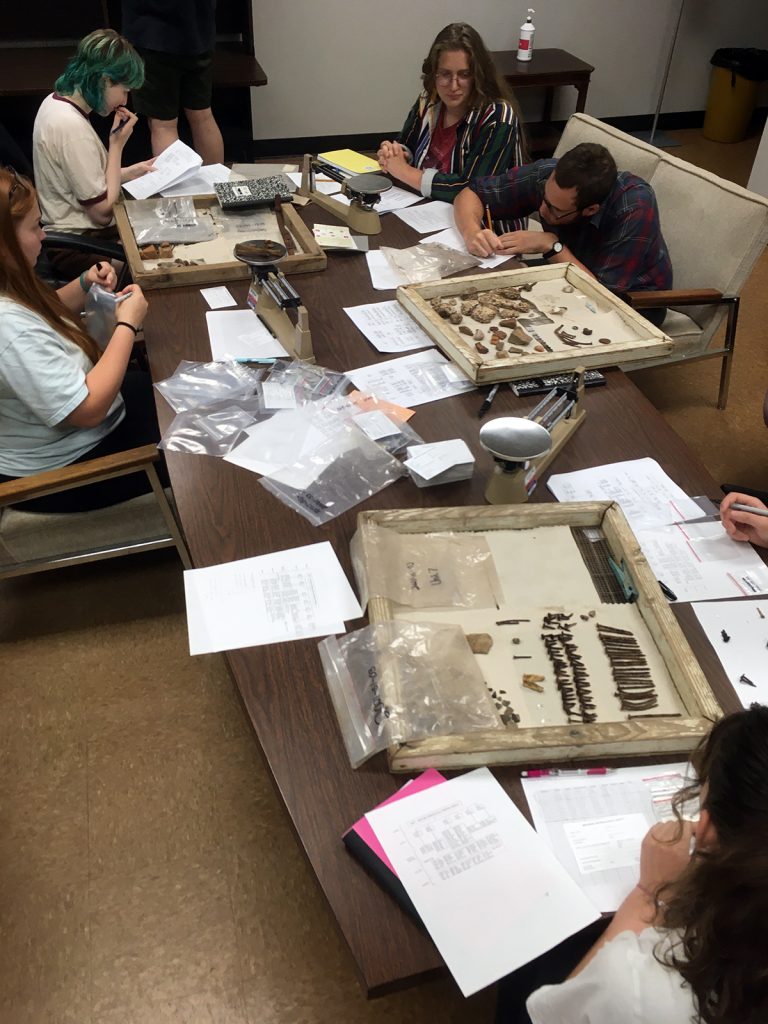
Having fun in the lab! 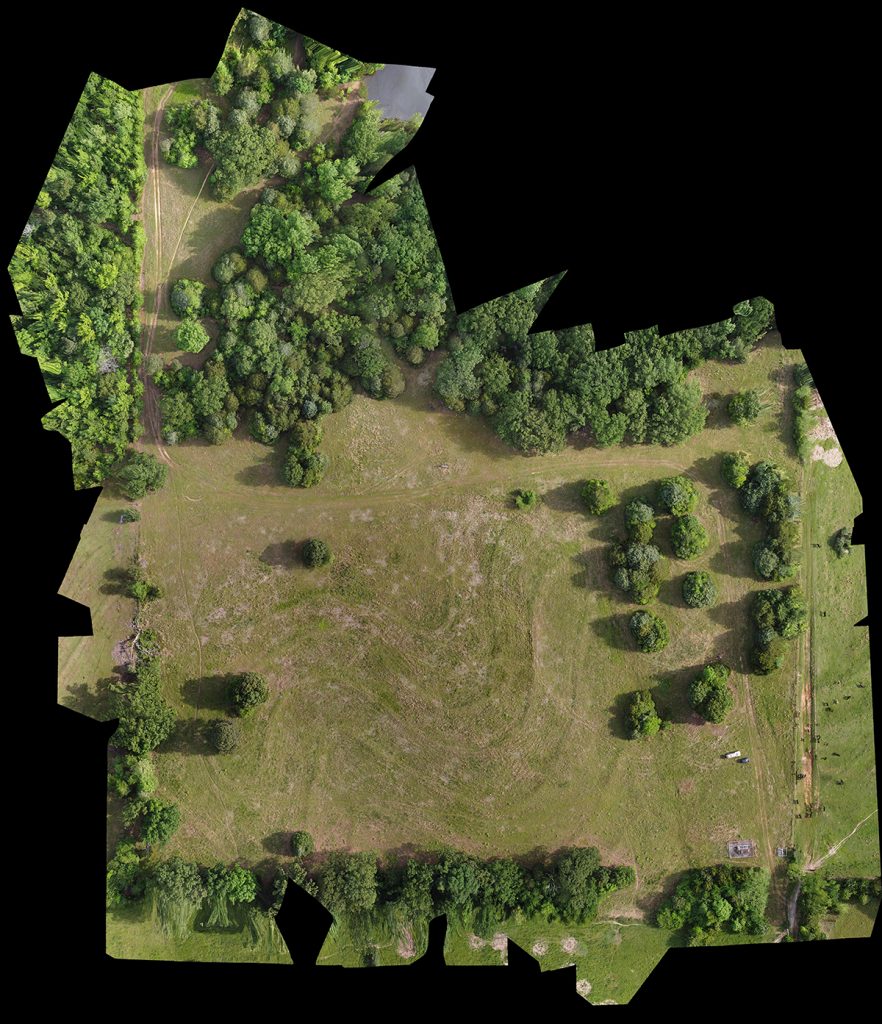
Drone imagery of site 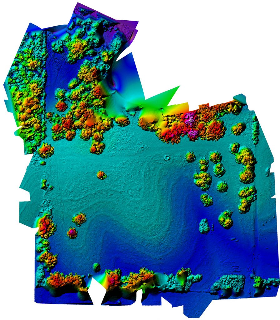
Generated DEM of site
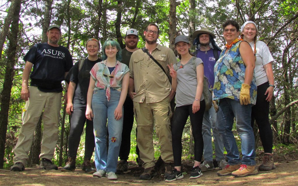
And a good time was had by all!