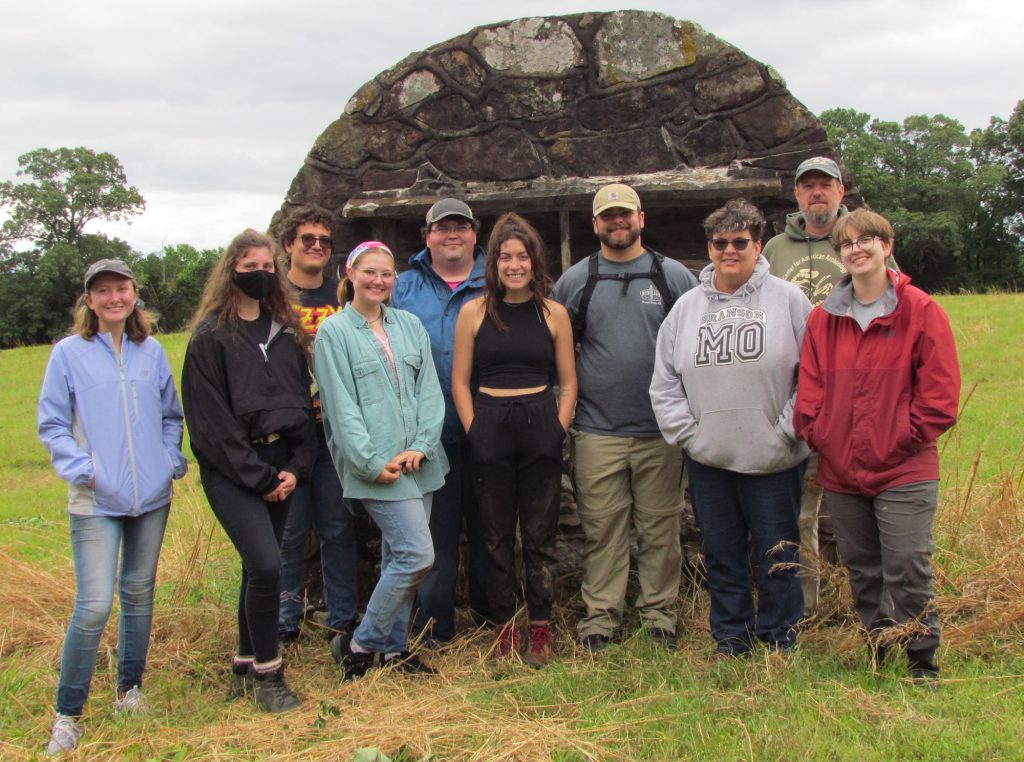
UCA Field School 2022
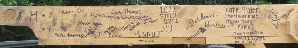
The 2022 UCA Field Archaeology course has officially concluded! As with previous field seasons, we had a very productive year with lots of new data collected, skills learned, and knowledge gained regarding Camp Halsey (3FA313) and the occupational history of the site. This season, three new architectural features (AF14, AF15, and AF16) were excavated and documented. Additionally, students gained experience in field reporting, feature mapping, systematic metal detecting, artifact field documentation and cataloging, total station mapping, site grid organization, and electrical resistivity survey method and data processing.
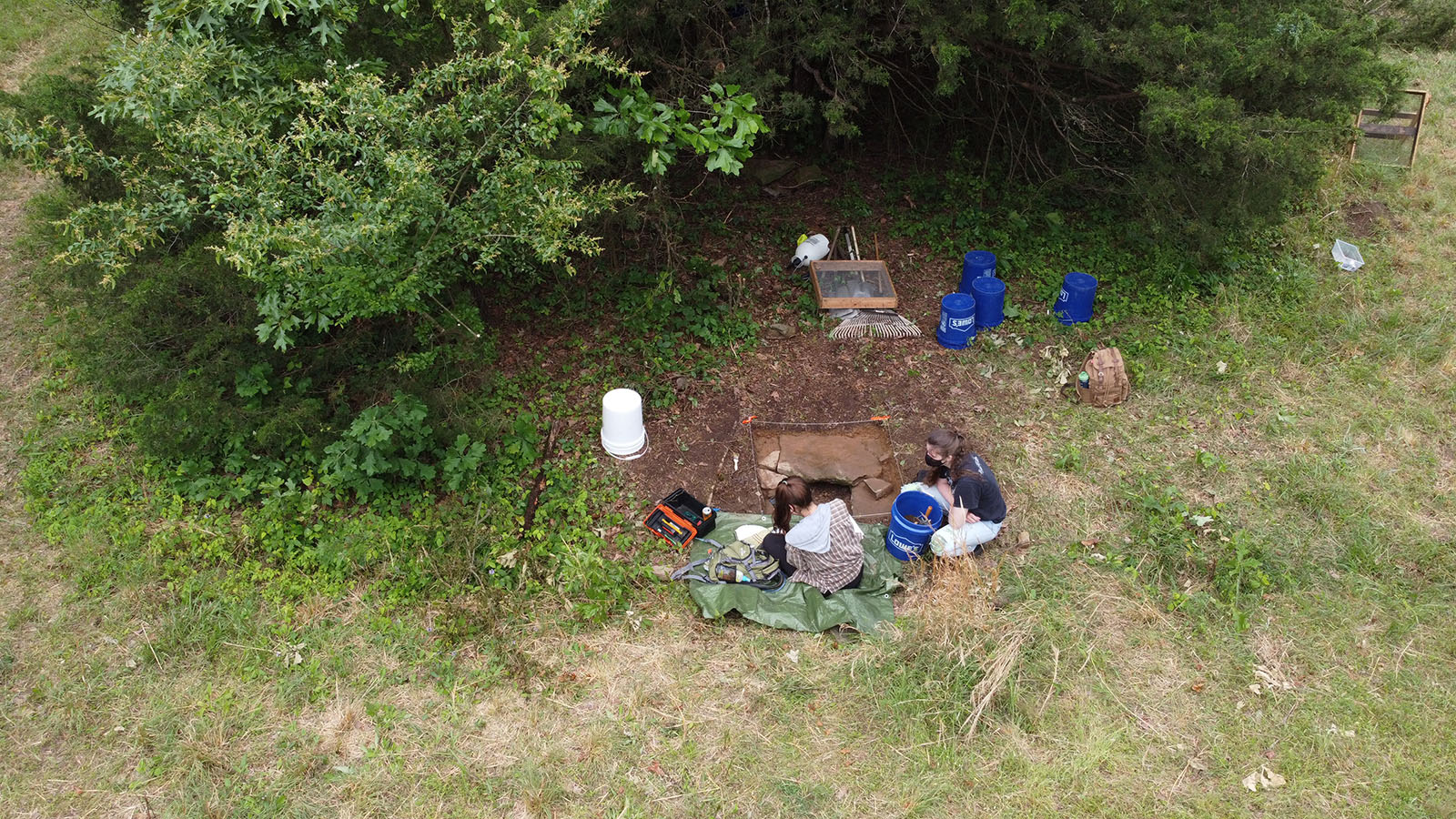
Architectural Feature 14 (AF14) is defined as a low topographic rise located in the southeast corner of the camp. After clearing vegetation, two 1×2 m units were opened (Unit 9 and 10) in order to cross-cut the topographic rise. Excavations in Unit 9 revealed a row of vertical sandstones, which align with a disturbed cluster of sandstones in Unit 10. When overlain on a 1937 aerial image, they are spatially associated with the location of large building (type and use is unknown at present) and are interpreted as the remains of a stone skirt that surrounded the building base.
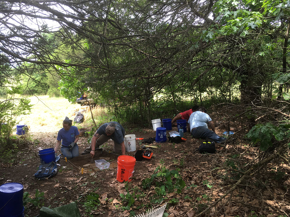
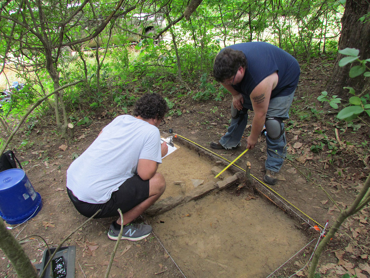
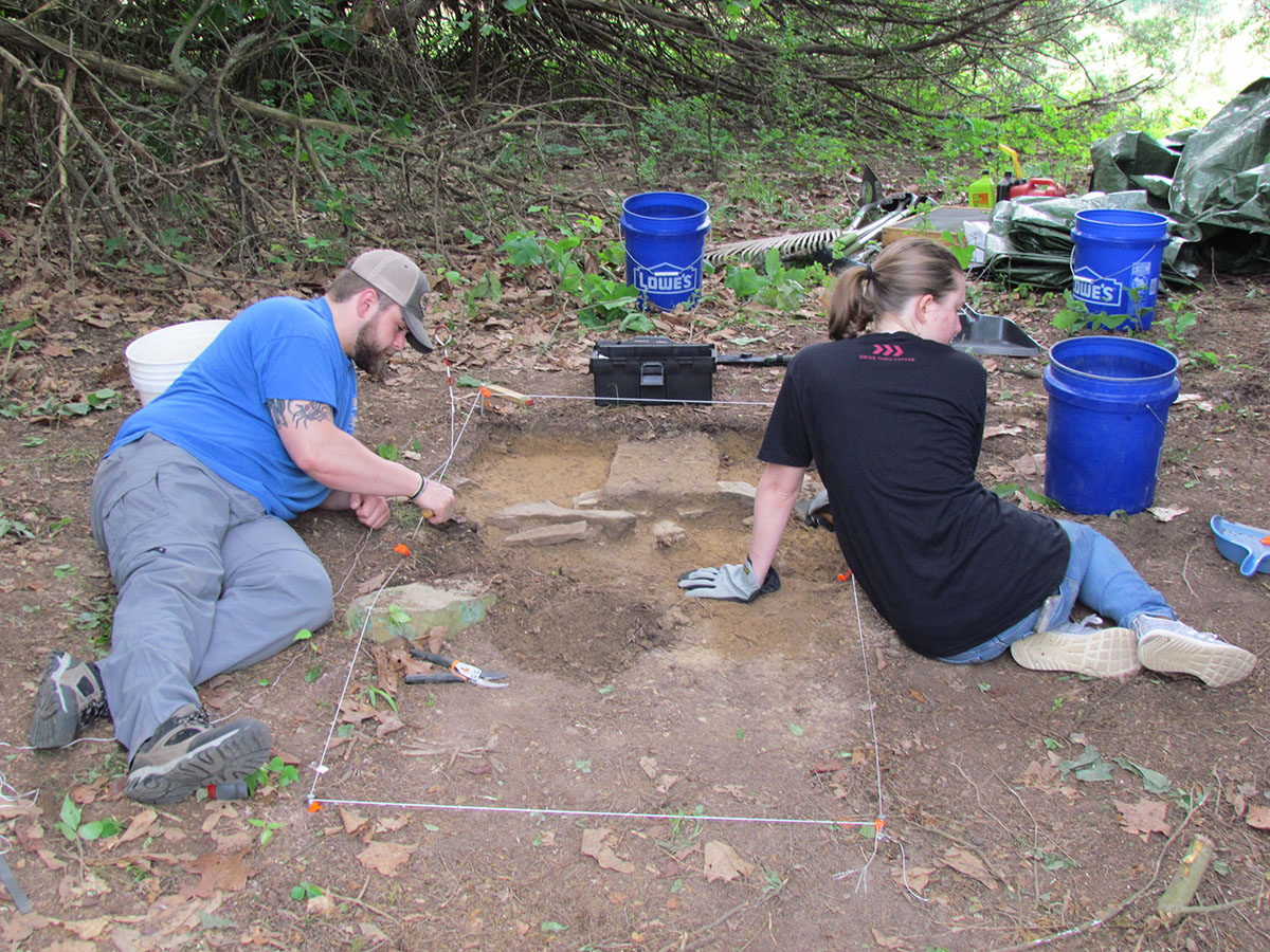
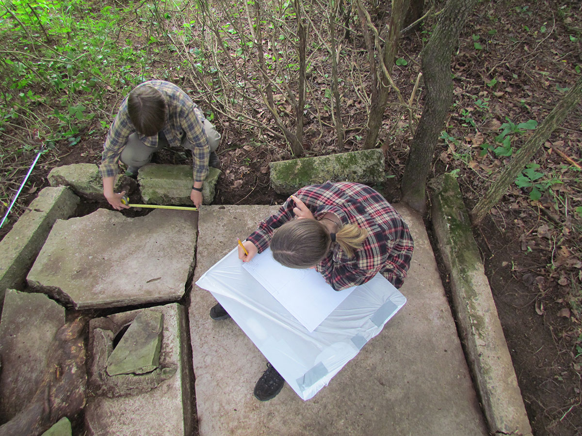
Architectural Feature 15 (AF15) was completely consumed by vegetation with only a small portion of a possible foundation visible. After a week of work among poison ivy, the entire feature was exposed, cleaned, mapped, and documented. AF15 is the remains of a poured foundation with foundation walls. Several threaded bolts are within the walls, which are the mounting bolts for a wood building frame that sat over the foundation. Numerous artifacts were recovered (gaskets, washers, nails, wire), including a cache of broken window glass in the northeast corner. Additionally, a well (with water about 8 ft deep) was found in the center of the feature. AF15 represents the location of Camp Building No. 23, Pump House Number 2, where it is noted in the 1938 Building Inventory that on April 1, 1935 an “additional well drilled 50’ South of Barrack No. 12” at a cost of $904.00.
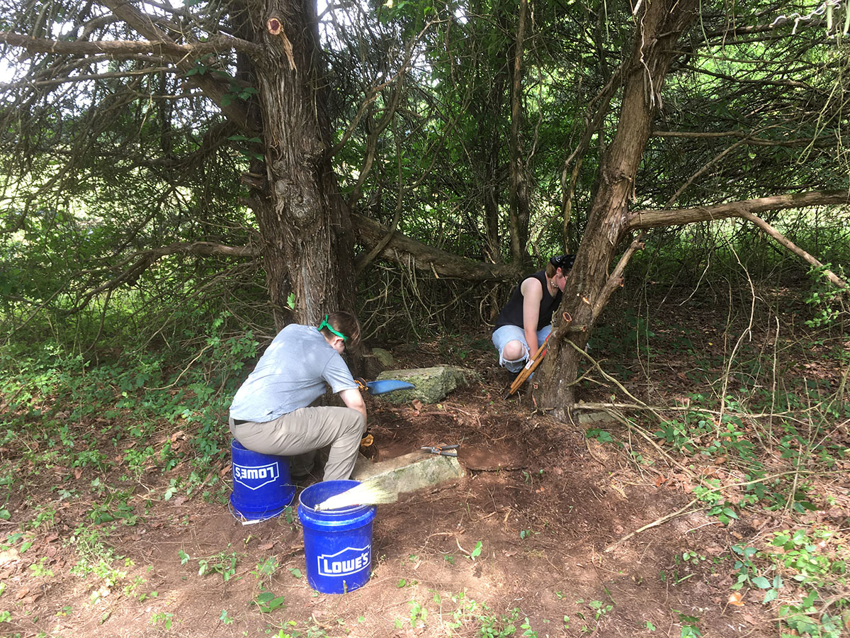
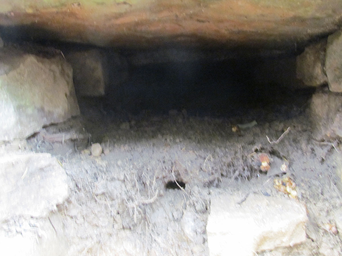
Architectural Feature 16 (AF16) is located directly north of AF15 and represents a stacked-stone culvert on the north side of the former location of Front Street. Today, portions of Front Street are consumed in vegetation with only road ditches visible in some locations. While it was understood as a culvert constructed by the Camp Halsey enrollees, its size and extent were unknown. A 1×1 unit (Unit 11) was opened in order to explore these questions. When fully exposed, the culvert represents a very sturdy and robust covert that seemingly continues under the road and likely connects to Feature 17 (AF17) – a cluster of sandstones on the southern side of Front Street. Plans are in place to open a trench between AF16 and AF17 to evaluate their relationship during the 2023 field school season.
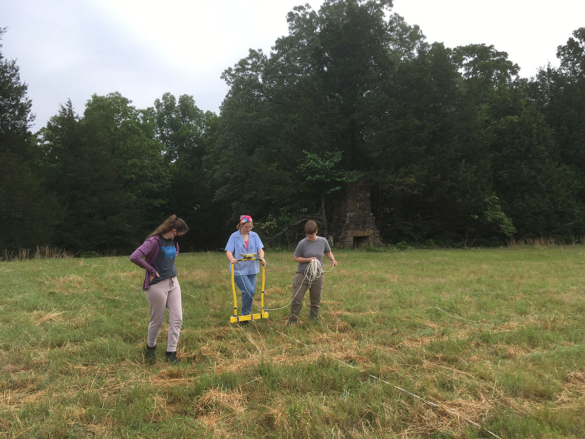
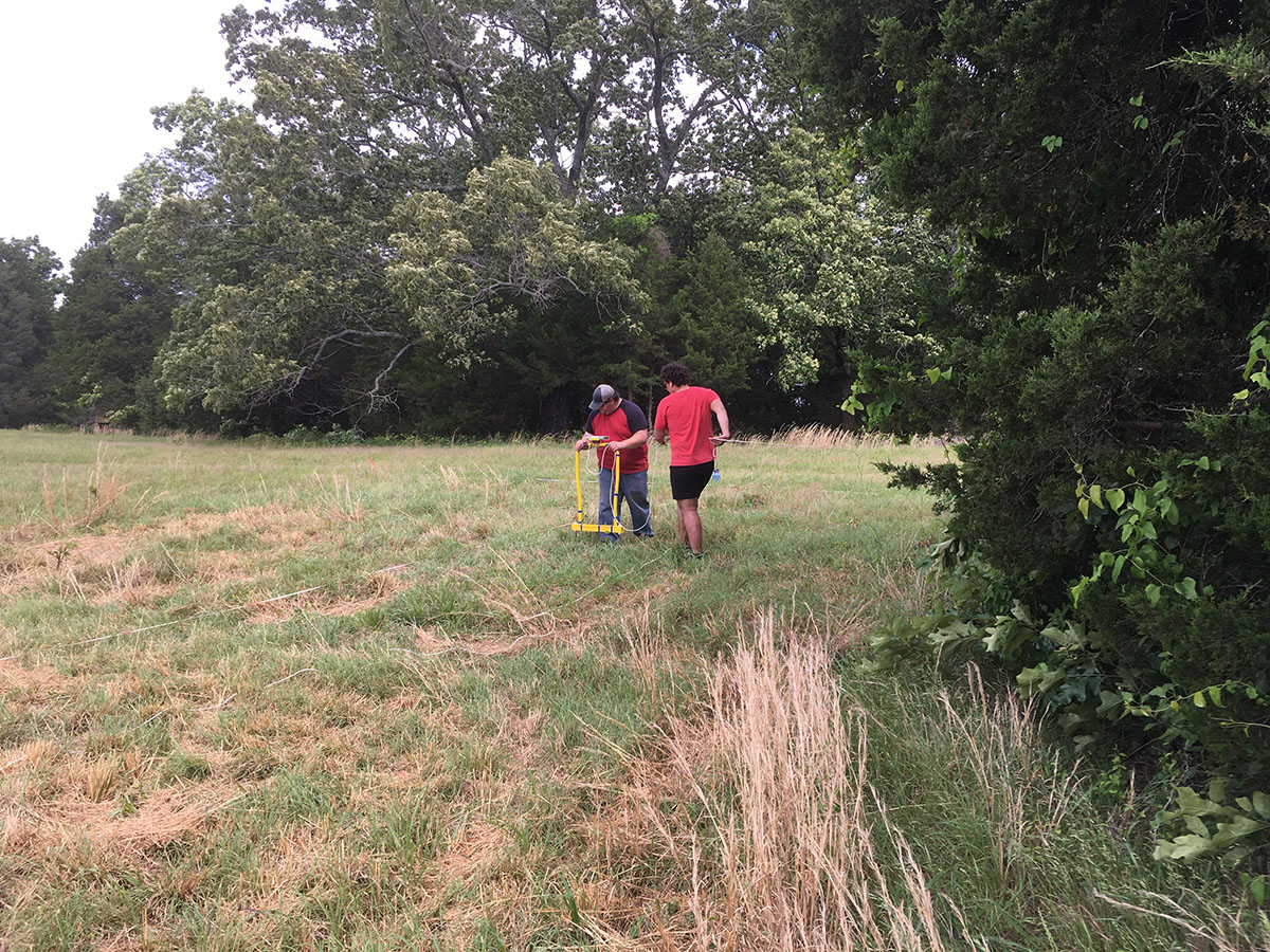
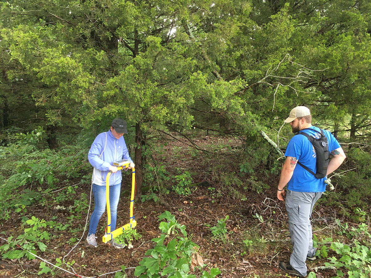
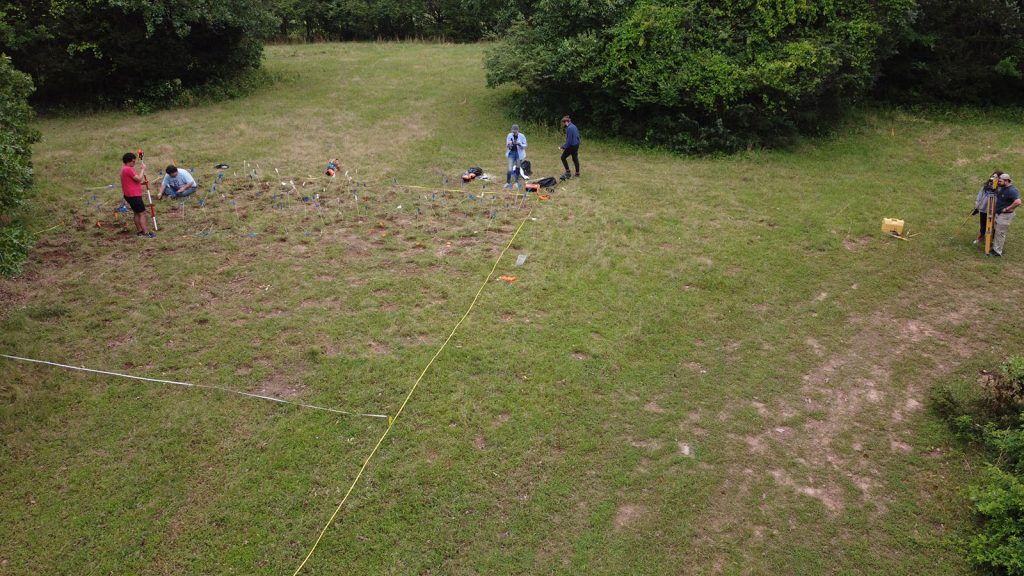
Students were also exposed to electrical resistivity survey methods using an RM Frobisher TAR-3 resistance meter. Numerous grids were collected that add to data collection from previous years. A total of 6700 square meters (0.67 hectares; 1. 6 acres) has been collected thus far. Efforts in 2022 were focused in the area in which the former barracks were located, a location across the former Front Street, and a large open space where it is assumed a gas filling station once was located. Results offer several areas for exploration in subsequent field schools.
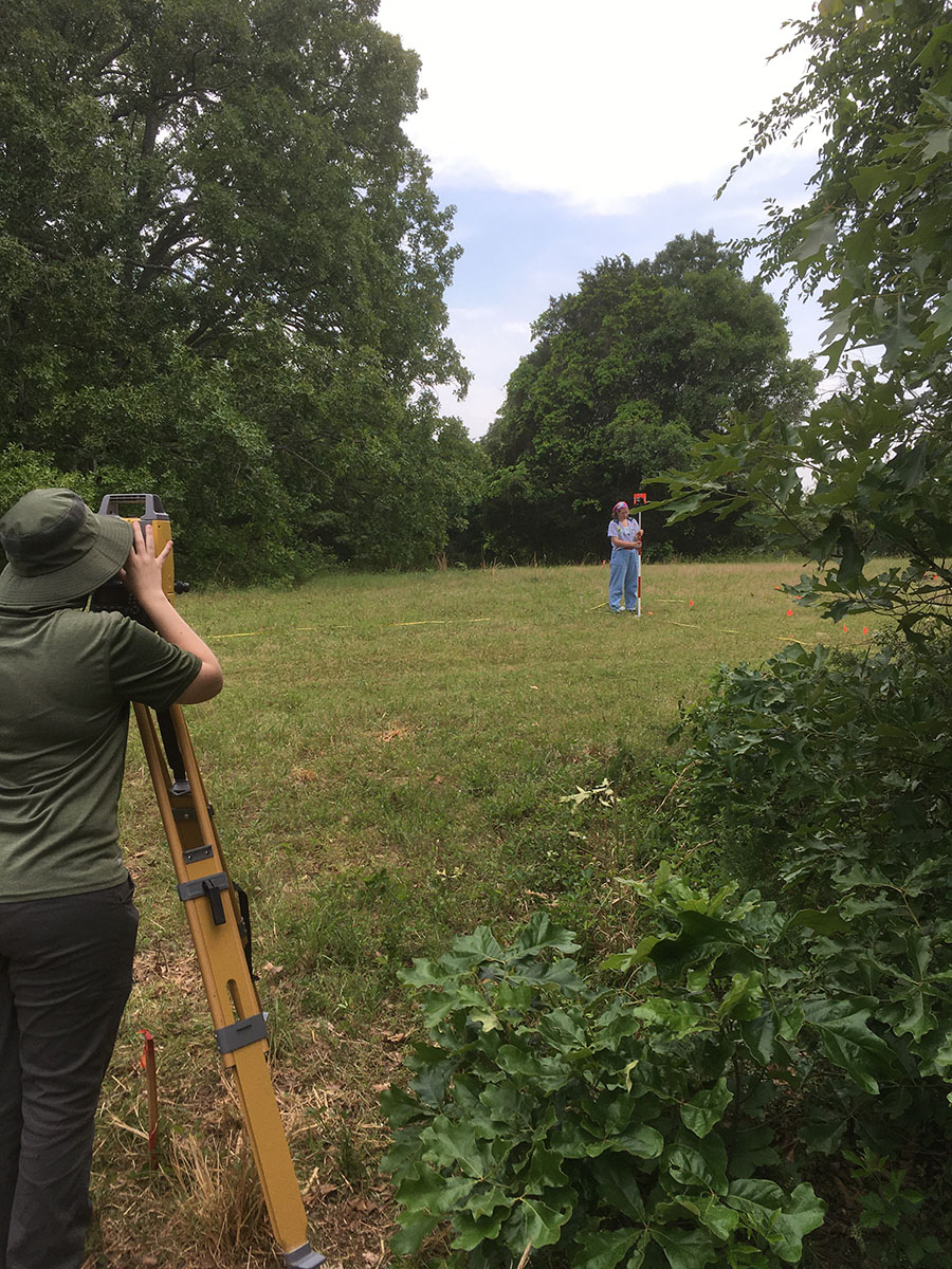
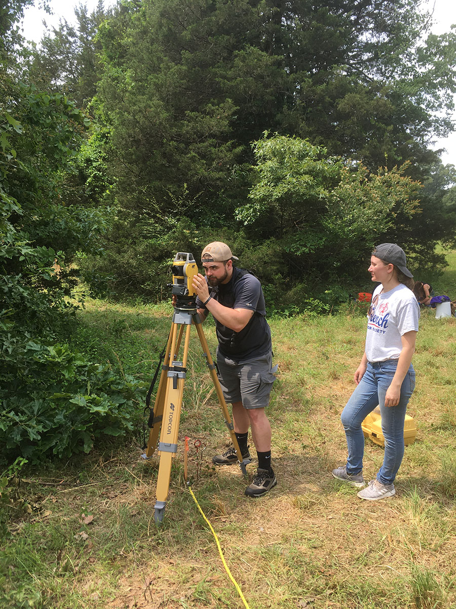
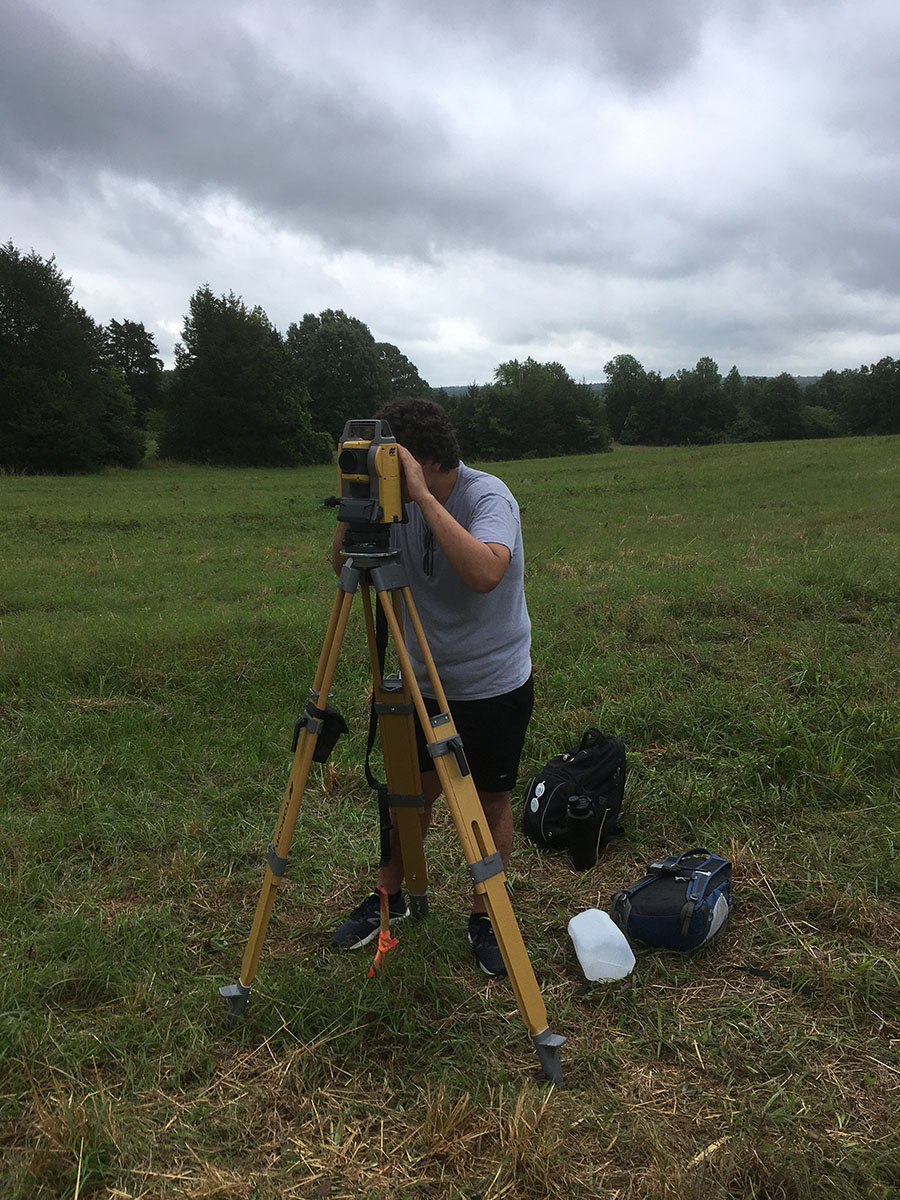
New to the 2022 field school is the permanent addition of a Topcon GM50 Total Station, purchased by the Jamie C. Brandon Center for Archaeological Research from Topcon Solutions. Students had an opportunity to learn how to use a total station to map features, artifact distributions, and topographic data collection. The addition of a total station is an important contribution toward providing students the requisite skills that define an archaeological field school, where total station knowledge is expected by professional archaeology and survey firms.
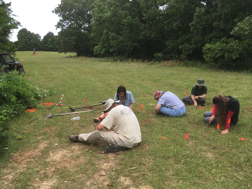
Finally, students were also introduced to the use of systematic metal detection survey methods. Two 10 x 10 m grids were surveyed within Grid 5. Students used pin-flags to mark metal hits, excavate features, and create distribution maps to understand the relationship of identified artifacts (lots of nails!) and the proposed location of the former buildings.
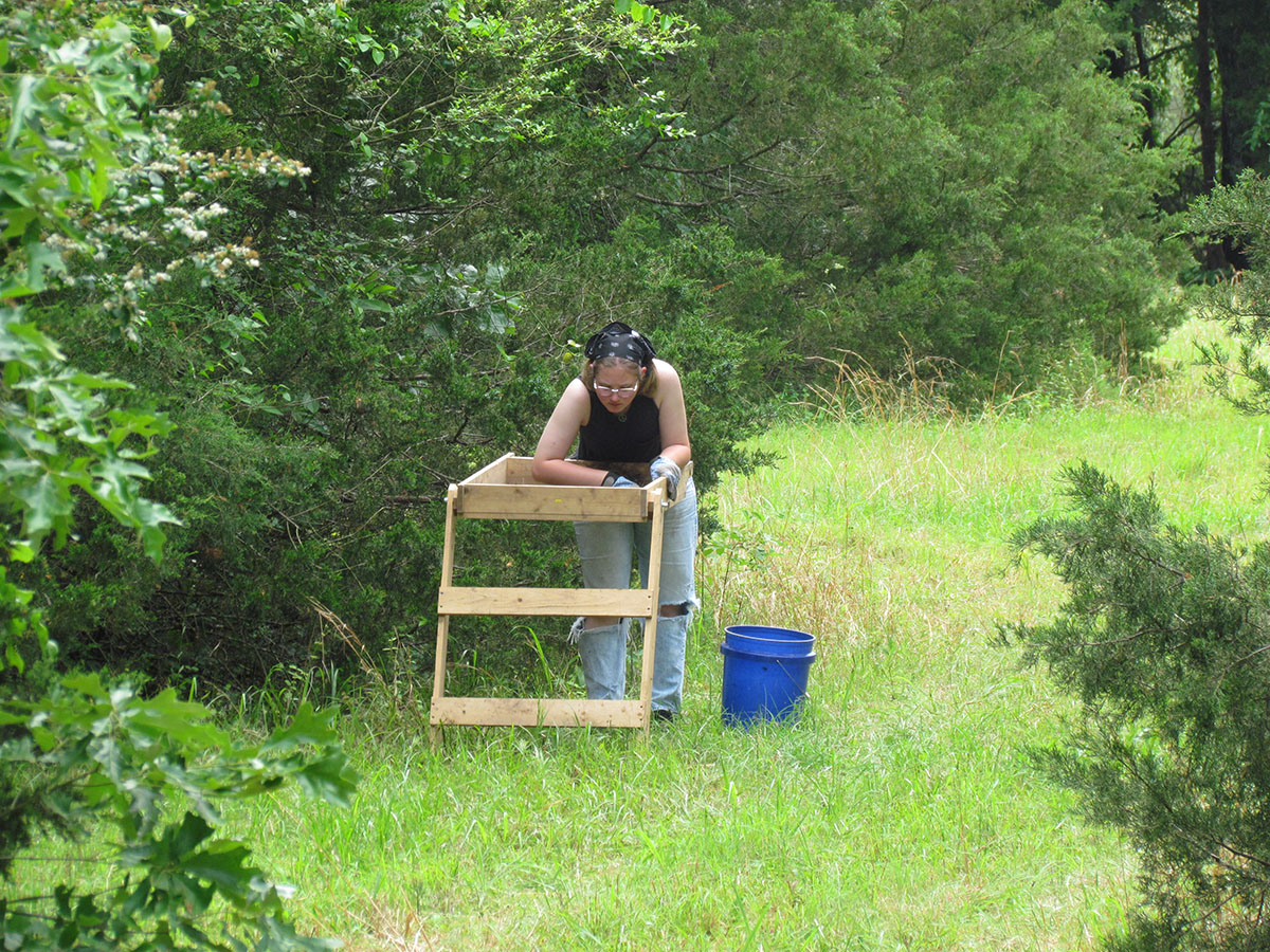
After collecting data in the field, the last few days were on UCA campus doing lab work. Students were exposed to artifact cleaning, documentation, sorting, interpretation, and accessioning and curation standards. Artifacts were “bagged and tagged” according to Arkansas Archeological Survey standards. They were also introduced to electrical resistivity and total station data processing and geographic information system (GIS) applications. A familiarity of GIS applications is a critical component to archaeological field work and data analysis where a GIS is used to organize multiple data sets and gain insights on spatial relationships between vector and raster data (collected during the field season) and the formation of new hypotheses to test in the field.